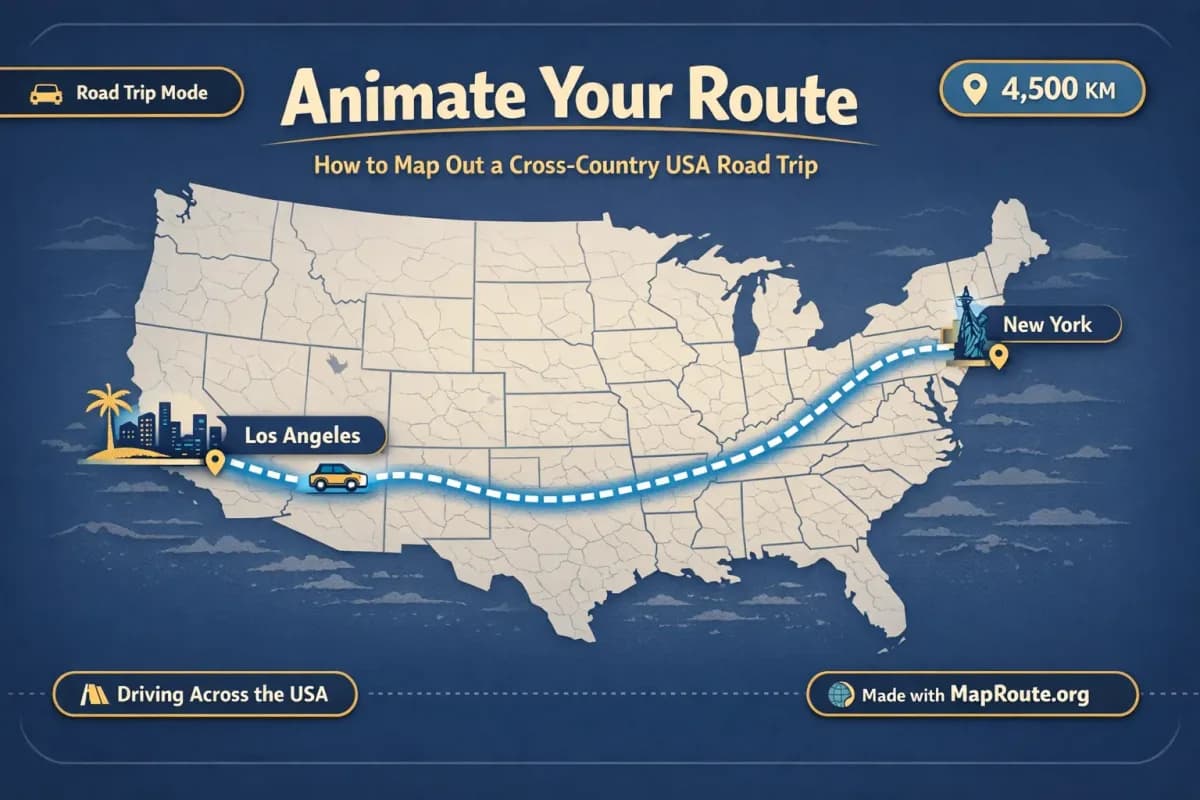
Why animate your cross‑country USA road trip?
You can map out a cross‑country USA road trip and see the route animate on a map in your browser, complete with an estimated km tracker. You can also turn that New York to Los Angeles road path into a short video clip you can download and later edit into your travel vlog or social posts.
This guide walks you through planning a coast‑to‑coast drive on a map, understanding how far you’re really going, and using Map Route (maproute.org) to visualize that journey. We’ll keep the focus on what travelers actually need: seeing the geography, gauging distance, and creating simple animations you can reuse in trip planning, journaling, or content creation.
Step‑by‑step: Animate a New York to Los Angeles road path
Map Route is built around a simple idea: pick two places, choose how you want the line drawn between them, then watch the map animate. For a cross‑country USA road trip, you’ll usually start with the Road mode to see a typical driving path across the country.
- Open Map Route in your browser: Go to maproute.org in a modern browser such as Chrome or Safari. There’s nothing to install—everything runs in the browser.
- Set your starting point: In the From field, type “New York”. After at least two characters, you’ll see suggestions with labels and context (for example, New York, United States). Pick the city that matches your plan.
- Set your destination: In the To field, type “Los Angeles”. Again, choose the city result that fits your trip.
- Choose the visualization mode: For a road trip, select Road. This asks the routing engine for a typical road path between New York and Los Angeles. It’s a visual route, not a bus service or booking, and not a guarantee of exact turn‑by‑turn directions.
- Generate the journey: Click Generate Journey. You’ll see Map Route move through prep stages like Resolving places, Requesting geometry, Framing the map, and Preparing journey. For a well‑known pair like New York–Los Angeles, this usually completes quickly.
- Watch the animation: Once ready, a marker or vehicle icon will move along the road path on the map. A km tracker shows the length of that computed road path, labeled as road path km.
- Adjust playback speed: Use the player controls to Play, Pause, Replay, and change speed between 1x, 2x, and 4x. At 1x, a long cross‑country route typically runs in the 8–28 second range, depending on distance.
- Copy the journey link (optional): Use the Copy link button to save a URL that remembers your From, To, and mode. You can share it or revisit it later to regenerate the same New York–Los Angeles road animation.
Map Route always works with exactly two endpoints per generate. If your real‑life itinerary has many stops, you’ll still create the animation one leg at a time and combine those clips in an external editor.
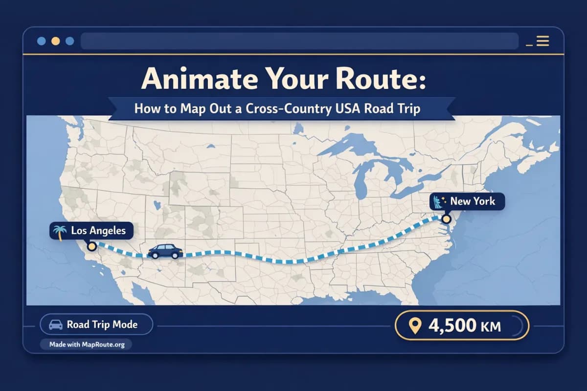
Key Map Route features for cross‑country road trips
When you’re planning or documenting a USA road trip, a few specific Map Route features are especially useful: the km tracker, the four visualization modes, and the way the map frames your journey.
Understand your distance with the km tracker
For New York to Los Angeles, Map Route’s km tracker shows the length of the computed road path. This number is labeled as road path km and represents the length of the line the routing engine calculated between those two cities.
- It’s a geometric length of the path on the map, not a driving time estimate.
- It’s not tied to a specific highway choice you might make in a navigation app.
- It’s not a ticket distance or an official mileage figure from any transport provider.
If you switch to Air corridor or Geodesic, you’ll see a shorter number, because those are more direct lines. The km tracker label will change accordingly to air corridor estimate km or geodesic km.
Choose the right visualization mode for your story
Map Route offers four modes, each telling a slightly different story about your cross‑country trip:
- Road – A typical road path between your two cities. Ideal for visualizing a USA road trip like New York to Los Angeles or Chicago to San Francisco.
- Rail – A railway alignment if Map Route can find railway geometry between your chosen places. This can be interesting for comparing train‑like paths where rail exists, but it’s not a timetable, ticket, or guarantee that passenger trains operate that route.
- Air corridor – An estimated great‑circle line between the two points, similar to what you’d see for a direct long‑haul flight concept. For a road trip article or vlog, this can be a nice way to contrast “we drove this far instead of flying.”
- Geodesic – A straight‑line distance on the globe. This is purely geometric and not a travel route, but it gives a clean visual of “as‑the‑crow‑flies” distance.
If road or rail geometry can’t be computed between your chosen cities, Map Route will offer a geodesic line instead. There is no cruise‑ship or bus‑service mode.
Automatic map framing and subtle 3D feel
You don’t have to worry about camera keyframes or 3D settings. Map Route uses a MapLibre map with an OpenFreeMap / OpenStreetMap basemap and automatically frames your journey based on distance. Short hops are framed tightly; long hauls like New York to Los Angeles are framed more widely so you see most of the USA at once.
On some distances, Map Route applies a slight pitch (around 22° under ~1800 km, around 8° under ~5000 km) to give a gentle sense of depth, but this isn’t a full 3D globe player and you can’t set custom camera paths or orbits. The focus is on a clean line and a moving marker that clearly show your route.
Example cross‑country routes to visualize
Once you’ve animated New York to Los Angeles, you can quickly explore other classic USA road‑trip ideas by swapping the endpoints. Each generate is still just two places, but that’s often enough to get a strong sense of distance and geography.
Classic coast‑to‑coast: New York to Los Angeles
This is the archetypal cross‑country drive. In Road mode, you’ll see a path that spans almost the entire width of the continental USA. The km tracker gives you a concrete sense of how far you’re planning to go, which is useful when you’re deciding how many days you really need on the road.
Try generating the same pair in Air corridor and Geodesic modes to see how much longer the road path is compared with a direct line. This can make for a compelling visual in a blog post or video: you can show the straight‑line distance first, then cut to the road path animation to highlight the difference.
Northern and southern variations
Even though Map Route doesn’t let you add waypoints inside one generate, you can still tell the story of a more detailed itinerary by animating each leg separately. For example:
- New York → Chicago (Road) – Eastern to Midwestern leg.
- Chicago → Denver (Road) – Crossing the plains toward the Rockies.
- Denver → Las Vegas (Road) – Mountain and desert stretch.
- Las Vegas → Los Angeles (Road) – Final approach to the Pacific.
You would generate each pair on Map Route, download the clips with the “Made with MapRoute.org” watermark, then stitch them together in your own video editor. That external editor is where you’d add titles like “Day 1: New York to Chicago” or overlay your daily mileage.
Alternative long‑haul routes
You can apply the same approach to other cross‑country or long‑distance drives:
- Boston → San Francisco (Road) to compare a northern coastal‑to‑coastal line.
- Miami → Seattle (Road) for a diagonal across the entire map.
- Key West → Seattle (Road) to emphasize just how far the USA stretches.
For each, the km tracker helps you see how these routes compare in length, even if you ultimately take scenic detours in real life.
Integrating animated routes into your USA road trip vlog
Animated route segments make excellent opening shots, chapter breaks, or recap moments in a road trip vlog. With Map Route, you can quickly produce those segments without wrestling with complex motion‑graphics software.
Where animated routes fit in a vlog structure
- Intro: Start with a 16:9 New York → Los Angeles road animation at 1x speed as you voice over your overall plan.
- Daily segments: Insert shorter legs (New York → Chicago, Chicago → Denver, etc.) as transitions between driving and destination footage.
- Recap: At the end of the series, replay the full cross‑country route to show how far you’ve come, referencing the km tracker value.
Because Map Route offers playback speeds of 1x, 2x, and 4x, you can choose a slower, more cinematic feel or a quick, snappy transition. Remember that timing to music happens in your video editor—Map Route doesn’t sync to audio.
Editing tips for smoother storytelling
- Keep each segment short: Map Route animations are typically in the 8–28 second range at 1x, but you can trim them further in your editor to fit your pacing.
- Overlay labels: In your editor, add text like “Day 5 – Crossing the Rockies” on top of the Map Route clip to anchor the viewer.
- Match B‑roll: Cut from the animated road path to driving shots or drone footage from the same region to make the geography feel real.
- Use stills for thumbnails: Export an image of your New York → Los Angeles route and use it as a YouTube thumbnail background or blog header.
Map Route vs other ways to animate a USA road trip
If you’ve ever tried to animate a cross‑country road trip in desktop motion‑graphics software, you know it can take a lot of time to set up maps, lines, and camera moves. Map Route trades some of that fine‑grained control for speed and simplicity in the browser.
| Tool | Typical setup | Control level | Best for |
|---|---|---|---|
| Map Route (maproute.org) | Browser-based, two-point From/To input, automatic road path and km tracker | Limited but fast: four modes, auto framing, simple speeds | Travelers and creators who want quick, clean route animations without complex software |
| Desktop motion-graphics software (e.g., Adobe After Effects with map plugins) | Install software and plugins, import or design maps, keyframe camera and line animations | Very high: custom camera paths, labels, effects, and timing | Professional editors who need fully customized sequences and have time to build them |
| Mobile route animation apps (e.g., travel-story style apps) | Phone-based, often with templates and social export options | Moderate: templates and simple customization | Casual sharers who work mainly on mobile and don’t need browser-based workflow |
Map Route is not an After Effects replacement. It doesn’t offer custom camera keyframes, 3D globe exports, or built-in titles and soundtracks. Its strength is quickly visualizing geography between two places with an animated line and km tracker.
Limitations to keep in mind for cross‑country planning
Map Route is a visualization tool, not a booking engine or a full trip planner. When you’re mapping a cross‑country USA road trip, it’s important to understand what it can and can’t do.
- It doesn’t show live traffic, road closures, or detailed turn‑by‑turn navigation.
- It doesn’t book hotels, rental cars, or tickets, and it doesn’t prove that any bus, train, or airline operates between your chosen cities.
- There’s no built‑in multi‑stop editor; every animation is between exactly two endpoints. Multi‑leg trips require one generate per leg and external editing to combine.
- Geocoding depends on public services (Photon with Nominatim fallback), so not every small place will necessarily resolve, even in the USA.
- Video capture can occasionally fail in some browsers; the player will still work and show a notice if export isn’t available.
Used alongside navigation apps, guidebooks, and your own research, Map Route gives you a clear, animated big‑picture view of your cross‑country USA adventure—perfect for both planning and storytelling.
FAQ
Is Map Route free to use for planning a USA road trip?
Yes. Map Route is free to use in your browser. Logged-out visitors can Generate Journey up to 3 times but cannot download images or videos. If you create a free account and verify your email, you can generate and download within a daily quota (5 combined uses per UTC day for Generate Journey, Download Video, and Export Image). There is no self-serve checkout; paid plans, if needed, are handled manually by contacting the team from your account page.
Can Map Route show a multi-stop cross-country itinerary with all my overnight stops?
Not in a single generate. Map Route always works with exactly two endpoints (From and To) per journey. There is no multi-stop waypoint editor. To show a detailed cross-country itinerary with multiple nights, you would generate each leg separately (for example, New York → Chicago, Chicago → Denver, Denver → Las Vegas, Las Vegas → Los Angeles) and then combine those clips in your own video editor.
Does Map Route work on phones as well as desktop for USA road trips?
Yes. Map Route runs in modern browsers on both phones and desktop. You can search places, generate journeys, and play or replay animations on either. On smaller screens or narrow windows it uses a 9:16 aspect ratio, and on wider windows it uses 16:9. Image and video downloads, however, require a registered and verified account, regardless of device.
What kind of distance does the km tracker show on a New York to Los Angeles route?
The km tracker shows the length of the line Map Route actually computed between your two endpoints. In Road mode, that’s the road path km; in Rail mode, railway geometry km; in Air corridor mode, an air corridor estimate km; and in Geodesic mode, a geodesic km. It is not a driving time, not a ticket distance, and not an official mileage figure from any transport operator, but a geometric length of the visualized path.
Can I export a watermark-free video of my cross-country road trip route?
No. All video and image exports from Map Route currently include a “Made with MapRoute.org” watermark. There is no watermark-free export option in the current product. If you wish, you can still incorporate the watermarked clip into your edits and design your layout so the watermark fits your overall style.
How do I get vertical videos for TikTok or Reels of my USA road trip route?
Map Route automatically sets the aspect ratio based on your browser window. To get a vertical 9:16 video suitable for TikTok, Instagram Reels, Stories, or YouTube Shorts, generate and capture your route on a phone or in a desktop browser window narrower than 768px. Then, after verifying your account, use Download Video to save the clip and edit it further in your preferred app.
Does Map Route guarantee coverage for all US towns and highways?
No. Place search in Map Route relies on public geocoding services (Photon with Nominatim fallback), and road routing uses OSRM. While major US cities and many towns work well, Map Route cannot guarantee coverage for every small place, road, or highway. If a specific location doesn’t resolve, try a nearby city or region instead.
Is the exported video from Map Route HD and rendered on a server?
The exported video is a browser capture of the animation you watched, saved as MP4 (H.264) when supported by your browser or WebM otherwise. It is not a guaranteed server-rendered HD export, and capture can occasionally fail in some browsers. If capture fails, the player itself still works and will show a notice about export availability.