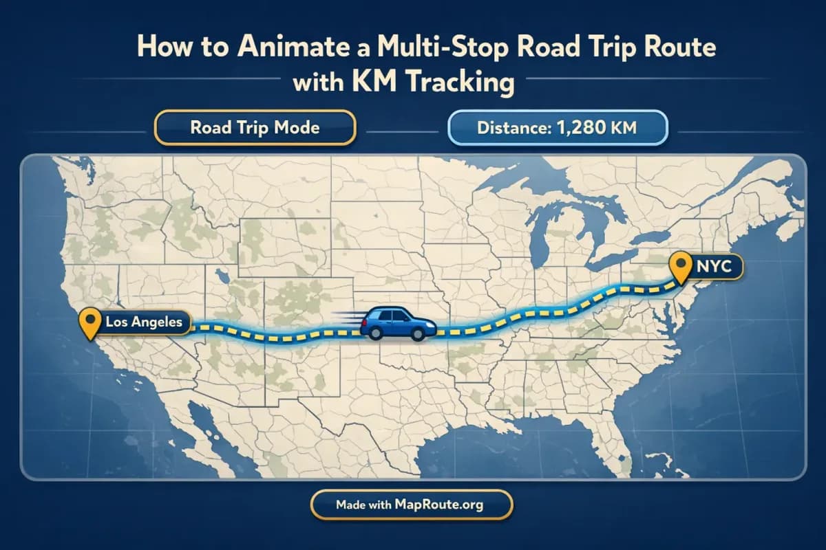
Turn your road trip into a km-tracked animation
You can absolutely animate a road trip route with live km tracking, but you’ll need to build it one leg at a time. Map Route visualizes the road path and distance between two places, then you combine those clips into a multi-stop story in your own editor.
In this guide, you’ll learn how to animate each section of a road trip (for example, New York to Los Angeles by road, or Westminster to Camden by road), how the km tracker works, and how to stitch multiple legs together so it feels like one continuous journey. Everything happens in your browser—no app install, no plugins—and you stay in control of how the final video looks on TikTok, Instagram, or YouTube.
Step-by-step: animate each leg of your road trip
Map Route generates one animated journey per pair of places. For a multi-stop road trip, you create a clip for each leg (From → To), download them, then edit them together. Here’s the full workflow.
1. Plan your road trip legs
Start by breaking your road trip into clear segments. For a cross-country drive like New York to Los Angeles, you might decide on major city stops such as:
- New York → Cleveland
- Cleveland → Chicago
- Chicago → Denver
- Denver → Las Vegas
- Las Vegas → Los Angeles
For a shorter city route like Westminster to Camden by road, you might just need a single leg, or you could add another stop such as Westminster → Camden → Hampstead by creating two separate clips.
2. Open Map Route in your browser
Go to maproute.org in a modern browser such as Chrome or Safari. There’s nothing to install—everything runs in the browser. If you only want to preview journeys, you can stay logged out. If you want to download videos or still images, you’ll need a free registered account with a verified email.
3. Set your first leg: From and To
On the Map Route homepage, type at least two characters for your starting point in the From box. Map Route searches cities, regions, and countries using public geocoders (Photon with a Nominatim fallback), then shows suggestions with labels and context. Pick the correct place, then repeat for the To box.
Examples you can try:
- From: New York, United States → To: Los Angeles, United States
- From: Westminster, London, United Kingdom → To: Camden, London, United Kingdom
Coverage depends on what those public geocoders return. Map Route can usually find cities and regions worldwide, but it’s not guaranteed for every small village or code.
4. Choose the Road visualization mode
To animate a road trip, select the Road mode. This uses a routing engine (OSRM) to compute a typical road path between your two places. It’s a visual road route, not a bus ticket, not a live GPS track, and not a guarantee that a specific driving itinerary is available.
Other modes you’ll see but won’t use for road trips are:
- Rail – follows railway alignment where it can be computed.
- Air corridor – an estimated great-circle path between two points.
- Geodesic – a straight-line distance on the globe, not a road.
If the routing engine can’t compute a road path, Map Route will offer a geodesic line instead. That’s still useful for showing overall distance, but it’s not a drivable route.
5. Generate and preview your journey
Click Generate Journey. You’ll see a short prep sequence—resolving places, requesting geometry, framing the map, preparing journey. Once the geometry is ready, the animation appears with a vehicle icon moving along the road path and a km tracker displaying the distance label (for example, “road path km”).
Use the player controls to:
- Play, pause, and replay the animation.
- Change speed between 1x, 2x, and 4x. At 1x, most journeys are about 8–28 seconds, depending on distance.
6. Adjust aspect ratio with your window or device
Map Route doesn’t have a manual aspect ratio picker. Instead, the aspect follows your browser window width:
- On phones or a narrow window under 768px: 9:16 (vertical). Ideal for TikTok, Instagram Reels, Stories, and YouTube Shorts.
- On wider windows from 768px up: 16:9 (landscape). Ideal for YouTube intros or embedding in vlogs.
Decide where your road trip animation will live, then size your window or use the right device before you export.
7. Export video or image (with watermark)
If you’re logged out, you can watch the animation but you can’t download it. To export:
- Register a free account on Map Route and verify your email.
- Generate your journey, frame it at the right moment and aspect.
- Click Download Video to capture the animation you just watched, including the km tracker, as an MP4 (or WebM if needed).
- Or click Export Image to save a WebP still of the current frame.
All downloads include a “Made with MapRoute.org” watermark. There is no watermark-free export in the current product.
Each Generate Journey, Download Video, and Export Image counts towards your daily free quota (5 combined uses per UTC day for verified accounts). The blog and help content don’t use up your quota.
8. Repeat for each stop on your route
To animate a multi-stop road trip, repeat this process for every leg. For example:
- Generate New York → Cleveland (Road), download the clip.
- Generate Cleveland → Chicago (Road), download the clip.
- Continue until you’ve covered all legs to Los Angeles.
You’ll end up with a set of short clips, each showing a road path and km tracker for one segment. The final step is to combine them.
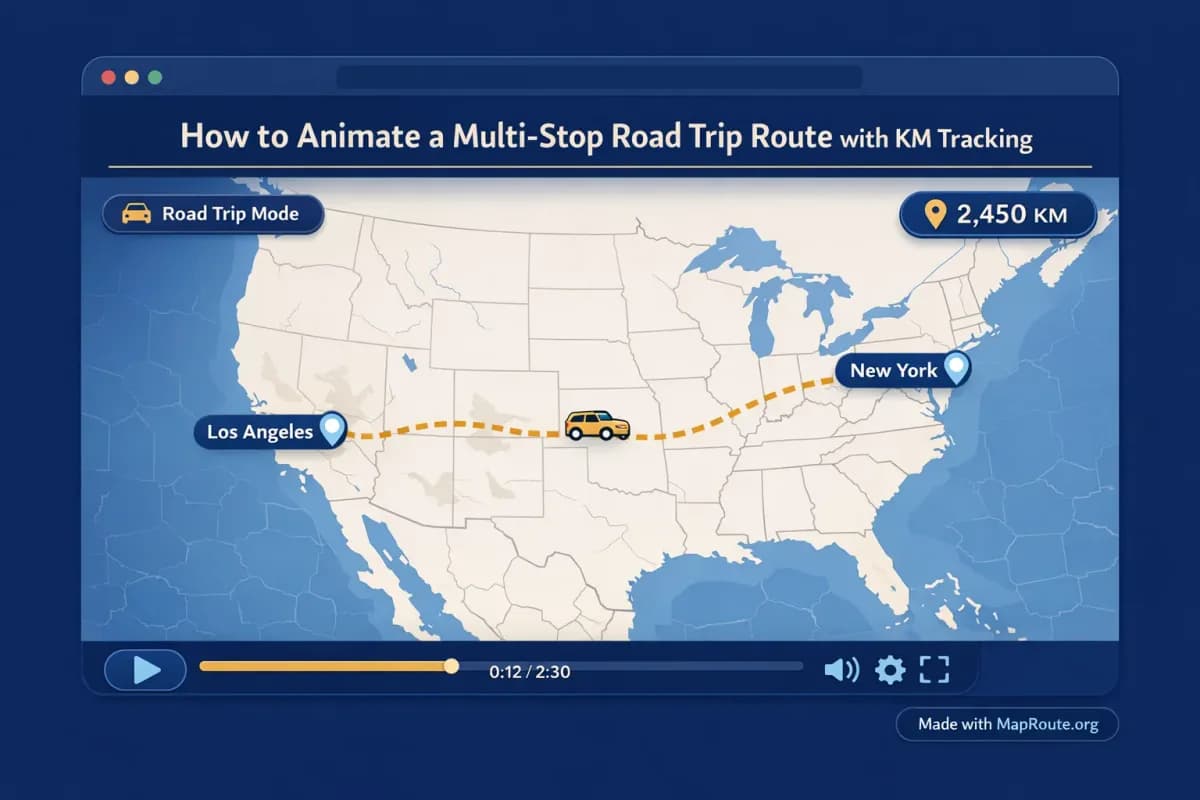
How Map Route’s km tracking and camera work
Understanding what Map Route’s km tracker actually measures—and what the camera can and can’t do—helps you design more accurate and realistic-looking road trip animations.
What the km tracker really shows
The km tracker in Map Route is the length of the line that was computed for your chosen mode. For a road trip animation, that’s the road path km along the route returned by the routing engine. It isn’t:
- A driving time estimate.
- An official ticket distance from any bus or rail operator.
- A live GPS reading of your car.
If you switch to Air corridor or Geodesic, the km tracker will usually show a shorter distance than the road path between the same places, because straight lines on a globe are shorter than real-world roads.
Automatic camera framing and subtle 3D feel
The journey player uses a MapLibre map with an OpenFreeMap / OpenStreetMap basemap. It’s not a full 3D globe or a keyframe-based camera system like a motion graphics tool, but it does handle framing for you:
- Short hops (like Westminster → Camden) are framed tightly so you can see the city-level detail.
- Longer hauls (like New York → Los Angeles) are framed more widely to fit the whole path.
- Some journeys get a slight pitch (around 22° under ~1800 km, around 8° under ~5000 km) for depth, while very short or very long ones stay flat.
You can’t set custom camera paths, orbit moves, or keyframes in Map Route. If you need extra motion or overlays, add them later in your own video editor.
Playback speed and journey duration
Map Route calculates an animation duration based on distance: roughly 6 + distanceKm/400 seconds, clamped to about 8–28 seconds at 1x speed. You can then adjust playback to 2x or 4x for a snappier feel. This is especially handy when you’re building a multi-stop montage and want each leg to be quick but still readable.
Example: from city hop to cross-country road trip
To make this concrete, here’s how two very different journeys look in Map Route, and how you might use them in a final multi-stop edit.
Westminster to Camden by road: a short city segment
For a London city vlog, you might want a quick animated map to show your move from central London up to Camden. In Map Route:
- Set From: Westminster, London, United Kingdom.
- Set To: Camden, London, United Kingdom.
- Choose Road mode and Generate Journey.
- Preview at 1x and 2x to see which feels better for your edit.
- Download Video in vertical 9:16 if you’re posting to Reels or TikTok.
Because the distance is short, the km tracker will show a modest road path km figure, and the framing will zoom in on central London. This makes a great intro or transition clip between street-level shots.
New York to Los Angeles by road: a long-haul overview
For a coast-to-coast road trip, one single New York → Los Angeles animation gives viewers a big-picture sense of scale. In Map Route:
- Set From: New York, United States.
- Set To: Los Angeles, United States.
- Choose Road mode and Generate Journey.
- Watch the road path sweep across the map with the road path km figure updating.
- Download Video in 16:9 landscape if you’re using it as a YouTube vlog opener.
If you also want to highlight intermediate stops, create additional clips for each leg (for example, Chicago → Denver, Denver → Las Vegas) and intercut them with your on-the-road footage. The km tracker on each segment helps viewers feel your progress across the country.
If a particular road leg can’t be computed by the routing engine, switch that leg to Geodesic or Air corridor so you still show the distance, then explain in your video that it’s a schematic line rather than a drivable route.
Combining multiple legs into one road trip story
Map Route doesn’t have a built-in multi-stop editor, so the multi-leg magic happens when you stitch clips together in your own editing software. Here’s how to turn separate legs into a seamless narrative.
1. Collect all your leg clips
Generate and download each road leg you need—keeping the device and aspect ratio consistent. For example, if you’re building a vertical New York to Los Angeles montage for Reels, make sure every leg is captured in 9:16, not a mix of vertical and landscape.
2. Import into your video editor
Use any video editor you’re comfortable with (desktop or mobile). Import the Map Route clips alongside your driving footage, B-roll, and music. Remember that Map Route is not itself a full video editor—this is where you add:
- Voiceover explaining each leg of your journey.
- Titles for city names and dates.
- B-roll of roads, landmarks, and roadside stops.
- Music tracks and beat-based cuts.
3. Arrange legs in order and trim
Place each Map Route clip in the correct order: Leg 1, Leg 2, Leg 3, and so on. Trim the start and end so the motion feels continuous—often you only need the middle portion where the vehicle is clearly moving and the km tracker is visible. Between legs, you can cut to real footage from that stop, then back to the next route clip.
4. Use the km tracker as a storytelling device
Because the km tracker reflects the actual computed path for each leg, it’s a simple way to show your audience how far you’ve gone. You can call this out in your narration, for example: “We’ve already driven over 1,000 km from New York and still have another 1,500 km to go.”
If you want to freeze the km tracker at a specific number for a thumbnail or overlay, pause the animation in Map Route at that moment and use Export Image to capture a still.
Map Route vs manual map animation tools
You can animate a road trip route in a few different ways. Map Route focuses on quick, browser-based From → To journeys with km tracking, while more advanced tools trade speed for control.
| Tool | Setup & Access | Route Creation Style | Best For |
|---|---|---|---|
| Map Route (maproute.org) | Runs in a browser, no install; free account for downloads | Type From and To, choose mode (Road, Rail, Air corridor, Geodesic), auto-framed with km tracker | Travelers who want fast, clear route animations with distance labels |
| Desktop motion graphics software (e.g., After Effects with map plugins) | Requires desktop install and usually paid plugins or templates | Manual keyframes, custom camera moves, layered graphics, heavy control | Creators needing fully custom map visuals and complex motion design |
| Mobile travel animation apps (e.g., route-story apps on phones) | Mobile app install; often in-app purchases or subscriptions | Tap to add multiple waypoints in one project, stylized icons and themes | Casual users who want all-in-one phone-based storytelling with presets |
Map Route doesn’t currently support editing multiple waypoints in a single journey. For multi-stop trips, generate each leg separately and combine them in your own editor.
Checklist: before you animate your road trip
Before you start generating routes
- List your road trip stops and define clear From → To pairs for each leg.
- Decide where you’ll publish (TikTok/Reels/Shorts vs YouTube) so you can choose vertical or landscape.
- Create and verify a free Map Route account if you plan to download videos or images.
- Ensure you’re using a modern browser (for example, Chrome or Safari) on phone or desktop.
- Plan which legs you absolutely need animated so you can stay within the free daily quota.
While using Map Route
- Confirm you’ve selected Road mode for each road trip segment.
- Check that the km tracker label matches your intent (road path km vs geodesic km).
- Use the player speeds (1x, 2x, 4x) to find a pace that suits your edit.
- Resize your browser window or choose device orientation to lock in the aspect ratio you want.
- Use Copy link if you might want to regenerate the same From → To pair later.
When editing your final video
- Import all Map Route clips into your video editor along with your travel footage.
- Trim each clip so the motion and km tracker are clearly visible but not too long.
- Add titles, voiceover, and music in your editor (Map Route doesn’t handle audio or text overlays).
- Use still exports from Map Route as thumbnails or chapter cards if needed.
- Double-check that the “Made with MapRoute.org” watermark is acceptable for your use.
FAQ
Can Map Route animate a multi-stop road trip in one go?
Not in a single file. Map Route generates one journey per pair of places (From + To) and doesn’t have a multi-stop waypoint editor. To show a multi-stop road trip, you generate each leg separately—such as New York → Chicago, Chicago → Denver, Denver → Los Angeles—download those clips, and then combine them into one video using your own editing software.
How accurate is the km tracker for road trips?
For Road mode, the km tracker shows the length of the road path that Map Route’s routing engine computed between your two chosen places. It’s a map-based distance, not a driving time estimate, not an official ticket distance, and not a live GPS reading. If you switch to Air corridor or Geodesic, the distance will usually be shorter because those are straight-line or near-straight paths on the globe.
Does Map Route work on phones and desktops?
Yes. Map Route runs in a browser on both phones and desktops—no app install or plugins are required. You can search places, generate journeys, and play animations on either. Image and video downloads are available to users with a verified account, and the aspect ratio depends on your window or device width (vertical 9:16 on narrow screens, landscape 16:9 on wider ones).
Can I export road trip videos without a watermark?
No. All current downloads from Map Route—both videos and images—include a “Made with MapRoute.org” watermark. There is no watermark-free export option at the moment. If you need to add your own branding or overlays, you can do that later in your own video editor on top of the exported clip.
What formats can I export my road trip animations in?
When you click Download Video with a verified account, Map Route captures the animation you watched in the browser, including the km tracker. The export is typically MP4 (H.264) when your browser supports it, otherwise WebM. Export Image saves a WebP still of the current frame and aspect ratio. These are browser captures, not guaranteed server-rendered HD files, and in some browsers capture can fail even though playback still works.
Is Map Route free to use for road trip planning and videos?
Yes. Map Route is free to use and doesn’t have a self-serve checkout. Logged-out visitors can generate up to 3 journeys but can’t download images or videos. With a verified free account, you get 5 combined uses per UTC day—each Generate Journey, Download Video, and Export Image counts as one. The blog and help pages don’t consume any of your quota.
Does Map Route show real-time traffic or bookable routes?
No. Map Route is a travel map animation maker, not a booking desk or live tracker. Road mode shows a typical road path from a routing engine, but it’s not a bus timetable, not proof that a specific service runs, and not a real-time navigation tool. Use it to visualize geography and distance, then rely on dedicated navigation or booking services for actual trip planning.
Which browsers work best with Map Route?
Map Route is designed for modern browsers such as Chrome and Safari in typical use. It doesn’t publish an official compatibility matrix, and behavior can vary slightly between browsers—especially for video capture. If you run into issues downloading animations, try updating your browser or switching to another modern browser while keeping in mind that playback itself should still work.