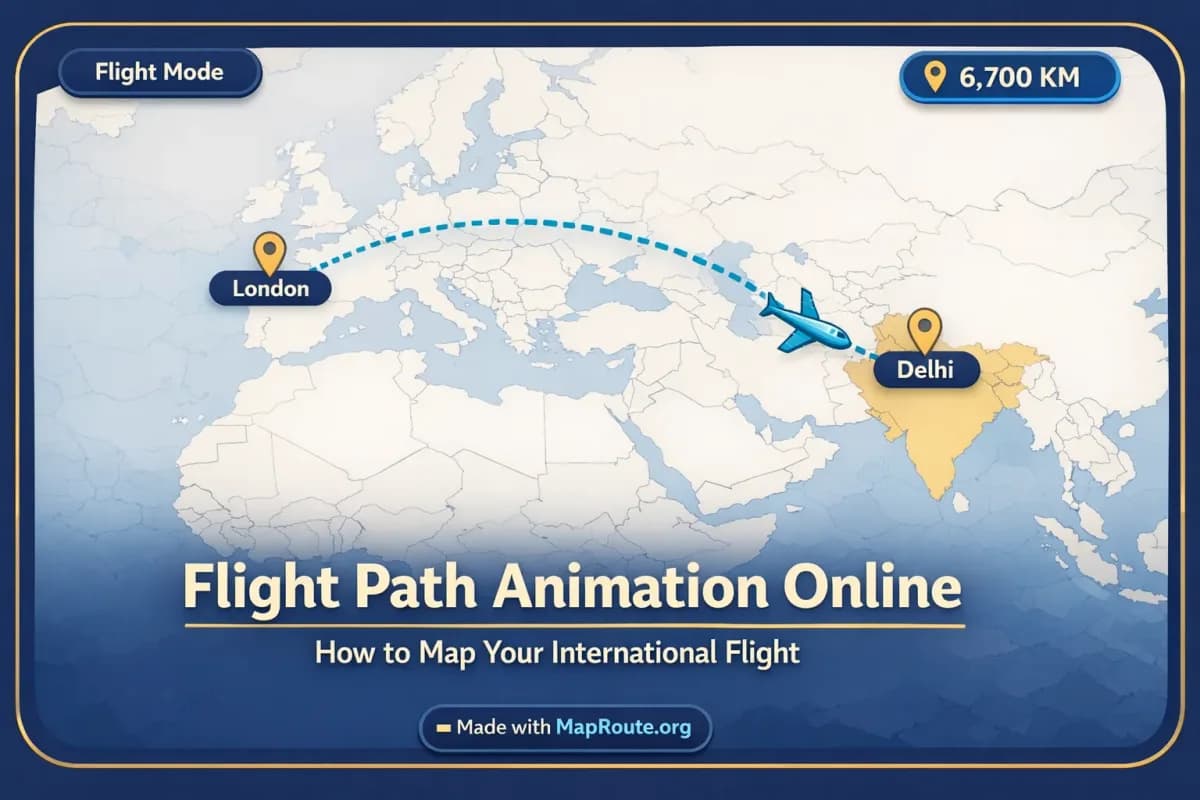
Turn your international flight into an animated map
You can map and animate your international flight path online in a browser using an estimated air corridor between two cities. Tools like Map Route let you turn that path into a short, shareable animation without installing any apps or plugins.
If you’re flying long-haul—from Delhi to London, Tokyo to Sydney, or any other big hop—an animated route makes your journey easier to explain and more fun to share. This guide walks you through how to create a clean flight path animation, what “air corridor” really means, and how to export a clip you can drop straight into TikTok, Instagram Reels, or a YouTube vlog intro.
We’ll focus on Map Route’s browser-based workflow, because it’s built specifically for visualizing the geography between two places. It won’t book flights, show real-time aircraft positions, or guarantee that airlines operate a particular route—but it will show an estimated long-haul line that looks great on a map.
Step-by-step: Create a flight path animation online
1. Open Map Route in a browser
Go to maproute.org in any modern browser such as Chrome or Safari. There’s nothing to install and no desktop plugin—everything runs in the page.
You can generate a few journeys while logged out, but if you want to download video or image exports, you’ll need to create and verify a free account later.
2. Choose your departure and arrival cities
You’ll see two search boxes: From and To.
- Click in the From box and start typing your departure city or region (at least two characters). For example: “Delhi” or “Tokyo”.
- Pick the correct suggestion from the dropdown. Each suggestion shows a label, some context, and a type badge (city, region, country, etc.).
- Repeat the same in the To box. For example: “London” or “Sydney”.
- Make sure you’ve selected the right places—Map Route uses public geocoders (Photon with Nominatim fallback), so you may see multiple similar names.
Airports themselves might not always appear as separate results. Map Route works with cities, regions, and countries as far as the public geocoders return them.
3. Select the Air Corridor mode
Below the search fields you’ll see the visualization modes. For flight-style animations, choose Air corridor.
Air corridor in Map Route is an estimated great-circle line between your two places. It is not a real-time flight tracker, not a filed flight plan, and not proof that a particular airline flies that exact route. It’s a clean visual of the shortest path on the globe that a long-haul flight might roughly follow.
For example:
- Delhi → London by air corridor will show a long, arcing path across Asia and into Europe.
- Tokyo → Sydney by air corridor will show a southbound curve over the western Pacific.
4. Generate your journey
- Click Generate Journey.
- You’ll see a short sequence of prep stages: *Resolving places → Requesting geometry → Framing the map → Preparing journey*.
- Once done, the map will zoom and frame both cities, then animate a marker along the air corridor line.
The camera framing is automatic: long-haul international flights are framed more widely so both continents sit comfortably in view. A small marker (like a vehicle icon) will move along the estimated air corridor while a distance counter tracks progress.
5. Adjust playback and review the distance
Use the built-in player controls to check the feel of your flight animation:
- Play, Pause, and Replay buttons
- Speed options: 1x, 2x, or 4x
At 1x, Map Route automatically sets the duration based on distance, usually ending up around 8–28 seconds for most journeys. That’s a natural length for social clips and vlog intros.
The distance label will read something like “air corridor estimate km”. This is the length of the line Map Route computed, not an airline’s official mileage and not flight time.
6. Create an account if you want to export
If you’re happy with the animation and want to save it:
- Click Register on the site or create a free account.
- Sign up with an email address (temporary or disposable emails are not allowed).
- Verify your email. Unverified accounts can’t log in, generate, or download.
A verified free account gives you up to 5 combined uses per UTC day. Each Generate Journey, Download Video, or Export Image counts as one use. The limit resets each UTC day.
7. Download your flight path video or image
Once logged in and verified, you’ll see options below the player such as Download Video and Export Image.
- Download Video: captures the animation you watched in your browser as an MP4 (H.264) when supported, or WebM otherwise. It includes the moving marker and km tracker.
- Export Image: saves a WebP still frame of the current map view and aspect ratio.
All downloads include a “Made with MapRoute.org” watermark. There is currently no watermark-free export option.
The video capture runs in your browser; it’s not a guaranteed server-rendered HD export. If capture fails in your setup, the player will still work and you’ll see a notice about the capture issue.
What Map Route actually shows for a flight path
When you’re planning or sharing an international trip, it’s important to understand what your flight path animation represents—and what it doesn’t. Map Route is a geography visualizer, not an airline system.
Estimated air corridor, not a real-time flight
In Air corridor mode, Map Route draws a great-circle style line between your chosen places. That’s the shortest path on the globe, and it’s a good visual approximation of how long-haul flights curve over the Earth.
- It is not a real-time flight tracker.
- It is not a filed flight plan or guaranteed route.
- It is not proof that airlines operate that city pair.
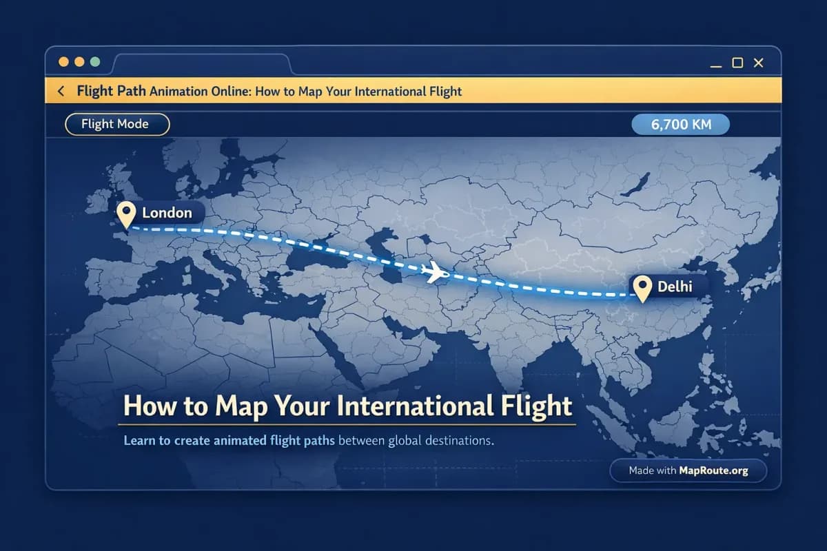
For example, Delhi → London by air corridor will show a high-level arc across the map. Individual airlines may route differently on the day, but the animation is meant to explain the geography, not operational details.
Distance labels that match the visual
Under the map, Map Route displays a distance counter that increases as the marker moves. The label clarifies what kind of line it’s measuring—here, “air corridor estimate km”.
That value is only the length of the line you’re seeing on the map. It isn’t flight time, doesn’t include detours, and might differ from an airline’s published mileage. It’s designed to support storytelling: “We flew about 7,800 km from Tokyo down to Sydney,” not to settle loyalty program disputes.
Automatic camera framing and subtle pitch
The map camera automatically frames your two points and adjusts slightly based on distance. Long-haul flights get a wide, continent-spanning view; shorter hops zoom in more tightly.
On many routes, the map has a small pitch (a gentle tilt) to add depth, but you can’t set custom 3D paths or keyframes. The player uses a MapLibre map with a light political-style basemap; it’s not a 3D globe export or an After Effects-style camera rig.
Aspect ratio that adapts to your device
Map Route doesn’t have a manual aspect ratio picker. Instead, the export follows the shape of your browser window:
- On phones or a narrow window under 768px: 9:16 (vertical) – ideal for TikTok, Instagram Reels, YouTube Shorts, and Stories.
- On wider windows from 768px upward: 16:9 (horizontal) – ideal for YouTube and landscape vlog intros.
If you want a vertical flight path for social, generate and capture it on your phone or in a narrowed desktop window. For a vlog intro, keep your browser wide to get a landscape clip.
Example international flight path animations
To make this concrete, here’s how you might map two classic long-haul flights using Map Route’s Air corridor mode.
Delhi to London by air corridor
- In the From box, type “Delhi” and select the city in India.
- In the To box, type “London” and choose the city in the United Kingdom.
- Select Air corridor as the visualization mode.
- Click Generate Journey and wait for the stages to complete.
- Watch the marker travel along the arc from South Asia to Western Europe while the “air corridor estimate km” counter climbs.
This makes a great visual for explaining a first-time trip to Europe: your viewers can see, at a glance, how far and in which direction you’re flying from Delhi to London.
Tokyo to Sydney by air corridor
- Set From to “Tokyo” (city in Japan).
- Set To to “Sydney” (city in Australia).
- Pick Air corridor and generate the journey.
- Observe how the path curves southward over the Pacific and down to Australia.
- Export a vertical clip on your phone if you’re planning to use it in a Reel or TikTok explaining your itinerary.
You can repeat this pattern for any other two cities, as long as the public geocoders can find them. It’s especially effective for trips that cross oceans or multiple time zones, where a simple line tells a big story.
Map Route only generates journeys between two endpoints at a time. If your real trip has stopovers (for example, Delhi → Doha → London), you’d generate each leg separately and combine the clips later in your own editor.
Adding your flight path animation to a travel vlog
For travel vloggers, a moving map is a classic way to open a new episode or transition between continents. Map Route is designed to provide that map segment; your editing software does the rest.
Export in the right shape for your edit
If you’re editing a YouTube vlog in 16:9:
- Keep your browser window at 768px or wider before you generate and download the video.
- Export the clip and import it into your editor (Premiere Pro, Final Cut, DaVinci Resolve, CapCut, etc.).
- Use it as an opener: start with the map, then cut to airport B-roll or cabin footage.
Map Route doesn’t support audio upload, beat-sync, titles, or B-roll inside the tool. You’ll add all of that in your own editor—voiceover, music, on-screen text like “Flight from Tokyo to Sydney”, and so on.
Choosing playback speed for storytelling
Inside Map Route, you can preview at 1x, 2x, or 4x. That choice affects the feel when you export:
- 1x: balanced length (often 8–28 seconds), good for intros where you want viewers to follow the entire path.
- 2x: snappier, good for transitions inside an episode.
- 4x: very quick, useful if you plan to overlay lots of text or cut rapidly.
You can always trim or speed-ramp the clip in your video editor, but starting with a suitable in-tool speed makes life easier.
Combining multiple legs in your timeline
If your itinerary has multiple flights (for example, Delhi → Doha → London), Map Route doesn’t support multi-stop editing in one file. You’d do this instead:
- Generate Delhi → Doha by air corridor and export the clip.
- Generate Doha → London by air corridor and export the clip.
- In your editor, place the two clips back-to-back, optionally with a short crossfade or title card between them.
This gives you fine control over pacing and lets you layer different music or narration over each leg.
Flight path animation tools compared
If you’ve been animating maps with heavy desktop software or mobile-only apps, Map Route offers a different balance of speed, control, and simplicity. Here’s how it generally compares to common approaches like Adobe After Effects templates or travel animation apps.
| Tool | Runs in | Typical setup | Route handling | Export notes |
|---|---|---|---|---|
| Map Route (Air corridor) | Browser (no install) | Type From/To, pick mode, click Generate Journey | Exactly two endpoints per journey; air corridor is an estimated great-circle line | Browser capture to MP4/WebM or WebP image, includes “Made with MapRoute.org” watermark |
| Adobe After Effects with map templates | Desktop software | Install app, import map assets or plugins, keyframe camera and paths | Highly customizable paths and camera moves, often more manual setup | Rendered from timeline; no built-in geocoding or automatic air corridor estimate |
| Mobile travel animation apps (e.g., route-story apps) | Phone / tablet | Install app, pick a style, tap to add points on a map | Often support multiple stops in one clip; features vary by app | Exports depend on app; may have their own watermark and style constraints |
Use Map Route when you want a quick, geography-accurate line between two places and you’re happy to handle titles, music, and editing elsewhere. Use heavier tools when you need custom 3D camera moves, branded map designs, or deeply layered motion graphics.
Checklist for clean international flight animations
Before you export your flight path
- Confirm both cities resolve correctly in the From and To fields (e.g., Delhi, India → London, United Kingdom).
- Select Air corridor mode for a flight-style line instead of road, rail, or geodesic.
- Preview the animation at 1x to check pacing; switch to 2x or 4x if you need a quicker clip.
- Resize your browser to vertical (phone or narrow window) for TikTok/Reels, or keep it wide for YouTube.
- Create and verify a Map Route account if you plan to download video or images.
- Check the distance label (“air corridor estimate km”) and decide if you want to mention it in your caption or voiceover.
- Remember that each Generate Journey, Download Video, and Export Image counts toward your daily free quota.
- Plan to add music, voiceover, and extra graphics later in your own video or social editing app.
FAQ
Is Map Route a real-time flight tracker for my international flight?
No. Map Route is not a real-time flight tracker and does not show live aircraft positions or filed flight plans. In Air corridor mode it draws an estimated great-circle style line between two places to visualize the geography of a journey. It’s meant for storytelling and content creation, not for tracking delays or confirming operational routes.
Can I map multi-stop international flights in one animation?
Map Route generates one journey between exactly two endpoints at a time. There is no built-in multi-stop or waypoint editor. For multi-leg trips, you generate each pair separately (for example, Delhi → Doha, then Doha → London) and then combine the exported clips in your own video editor or social app.
Does Map Route work on both desktop and mobile?
Yes. Map Route runs in a browser and works on phones and desktop. You can search for places, generate journeys, and play, pause, or replay the animation on both. Image and video downloads, however, require a verified account, and the aspect ratio of exports follows your window shape (vertical on narrow screens, horizontal on wider ones).
What kind of distance does the flight path show?
In Air corridor mode, the distance label shows an “air corridor estimate km” value, which is simply the length of the line Map Route computed between your two places. It is not flight time, not a ticket distance, and not necessarily the same as an airline’s published mileage. It’s intended as an approximate geographic indicator to support your storytelling.
How do exports and watermarks work for flight path animations?
After you register and verify your account, you can use Download Video to capture the animation you see in the player as an MP4 (H.264, when supported) or WebM, and Export Image to save a WebP still. All exports include a “Made with MapRoute.org” watermark; there is no watermark-free export in the current product. Video capture happens in your browser and can occasionally fail in some setups, though the player itself will still work.
Is Map Route free to use for international flight routes?
Yes. Map Route is free to use and there is no self-serve checkout. Logged-out visitors can Generate Journey up to 3 times but cannot download images or videos. With a verified free account, you get up to 5 combined uses per UTC day, where each Generate Journey, Download Video, or Export Image counts as one use. The quota resets each UTC day.
Can I add my own music or voiceover to the flight path animation inside Map Route?
No. Map Route is not a full video editor and doesn’t support audio upload, beat-sync, titles, or B-roll. It focuses on generating the animated map segment with a moving marker and distance counter. To add music, voiceover, or additional graphics, download the clip and edit it in your preferred video or social media editor.
Does Map Route guarantee coverage for every airport or city worldwide?
No. Map Route relies on public geocoders (Photon with Nominatim fallback) for place search, so coverage depends on those services. You can usually search for cities, regions, and countries worldwide as long as the geocoders return results, but not every village or airport code is guaranteed to resolve.