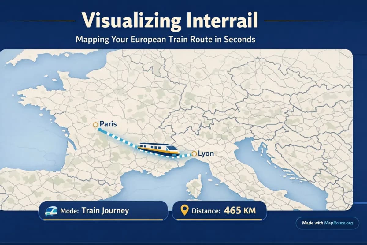
Turn your Interrail itinerary into a moving map
You can visualize an Interrail route in seconds by animating the rail line between two cities in your browser. Map Route lets you turn city pairs like London–Paris or Paris–Lyon into clean, moving route maps without installing anything.
If you’re planning an Interrail trip, you probably have a list of cities, a rough calendar, and a lot of screenshots. A short animated map of each leg helps you understand the geography, share your plans with friends, and later turn the journey into a simple reel or vlog intro—without touching complex video software.
This guide walks through how to use Map Route for European train journeys, what its rail mode can and cannot show, and how to handle multi-stop Interrail routes that span several countries.
Step‑by‑step: Visualizing an Interrail rail leg
Map Route focuses on one thing: animating the geography between two places. That matches how most Interrail legs work—city A to city B—so you can quickly turn each segment into its own clip.
- Open Map Route in your browser: Go to maproute.org. There’s no app to install or plugin to configure—everything runs in a modern browser like Chrome or Safari.
- Enter your starting city: In the From box, start typing your departure city (for example, “London” or “Paris”). After at least two characters, you’ll see suggestions with labels and context so you can pick the right place.
- Enter your destination city: In the To box, type your arrival city (for example, “Paris” or “Lyon”). Again, choose from the suggestions so the tool can resolve the correct location.
- Choose Rail mode: Select the Rail visualization mode so Map Route tries to follow the underlying railway alignment between your two cities. This is based on OpenStreetMap railway geometry where it can be found.
- Click Generate Journey: Map Route goes through a short prep sequence—resolving places, requesting geometry, framing the map, and preparing the journey. For many European pairs, this only takes a few seconds.
- Watch the animation: A marker moves along the computed railway line, with a km counter showing the length of that alignment. You can play, pause, replay, and change the playback speed between 1x, 2x, and 4x.
- Save the result (optional): If you create a free account and verify your email, you can download a video of the animation (MP4 or WebM, depending on your browser) or export a still image as WebP. Both include a small “Made with MapRoute.org” watermark.
Map Route is not an official Interrail planner, timetable, or ticketing tool. It visualizes estimated routes between places; it does not guarantee that a specific train runs that path or that a connection is bookable.
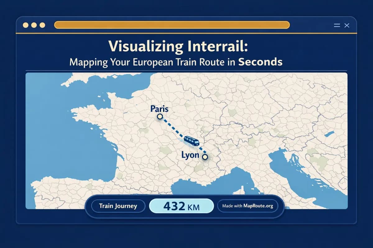
How Map Route fits an Interrail planner’s workflow
Interrail planning usually involves several tools: the Interrail or Eurail app for passes and timetables, rail operators for reservations, and maps for orientation. Map Route adds one missing piece: a quick, shareable visual of how far each leg actually is and how it looks on the map.
Four visualization modes for different legs
Even if your trip is primarily by train, you might have flights or bus segments to get to and from Europe. Map Route lets you switch modes depending on the leg:
- Rail – Attempts to follow the railway alignment between two places using OpenStreetMap railway data. Ideal for Interrail-style city pairs like London–Paris, Paris–Lyon, or Vienna–Budapest.
- Road – Follows a typical road path between two places. Useful if a segment of your trip is by car or coach rather than train.
- Air corridor – Shows an estimated great‑circle line between two points. Handy for visualizing your flight into or out of Europe before you start using your Interrail pass.
- Geodesic – A straight line on the globe between two points. This is a fallback when road or rail geometry can’t be computed, and it’s useful for a simple “as the crow flies” distance.
If Map Route can’t compute a rail or road path for your chosen cities, the player will say so and offer a geodesic line instead. That’s a geometry limitation, not a statement about whether trains or buses exist in real life.
Understanding the km tracker for Interrail legs
When you generate a journey, the km counter shows the length of the line Map Route actually computed. In rail mode, that’s labelled as railway geometry km. It’s useful for getting a feel for how big each leg is, but it’s not a timetable or ticket distance.
- For rail: the number reflects the length of the railway alignment Map Route found, not the exact train route you’ll ride or the official tariff distance.
- For road: it’s the approximate length of the road path, not driving time.
- For air corridor or geodesic: it’s an estimated straight‑line distance, usually shorter than road or rail between the same cities.
Aspect ratios that match social and vlogs automatically
You don’t pick an aspect ratio in Map Route—the player follows your browser window. On a phone or a narrow browser (under 768px wide), the animation is 9:16, which fits TikTok, Instagram Reels, Stories, and YouTube Shorts. On a wider window (768px and up), it’s 16:9, suited to YouTube intros or landscape clips. If you care about vertical vs horizontal framing, simply adjust your window or use your phone accordingly before generating and downloading.
Example: London to Paris and Paris to Lyon by rail
To make this concrete, here’s how two classic European train legs look when you visualize them with Map Route. These are not timetables or tickets—they’re geographic animations that help you see the shape and scale of your Interrail journey.
London to Paris by rail
For many travelers, the first leg of an Interrail‑style trip is getting from the UK to mainland Europe. With Map Route, you can:
- Set From to “London” and To to “Paris”.
- Choose Rail mode and click Generate Journey.
- Watch as the marker moves along the computed railway alignment across the Channel region, with a km counter tracking the distance.
This gives you a quick visual of how your trip jumps from the UK to France. Remember, Map Route is not checking specific Eurostar schedules or confirming that a particular train runs—it’s drawing an alignment based on available railway data.
Paris to Lyon by rail
Paris–Lyon is a classic leg on many Interrail itineraries through France. You can visualize it just as easily:
- Set From to “Paris” and To to “Lyon”.
- Select Rail mode and generate the journey.
- You’ll see a tighter‑framed animation, because this is a shorter hop within one country. The map automatically adjusts its zoom to keep the route nicely in view.
For each leg like this, you can copy a link from the player so you can come back to the same pair and mode later, or share it with friends who are curious about your route.
Building a multi‑stop Interrail route, one leg at a time
Most Interrail passes cover several stops—London → Paris → Lyon → Milan → Venice, and so on. Map Route doesn’t have a multi‑stop editor, so you can’t draw a single continuous line through all your cities inside the tool. Instead, you generate each leg separately:
- London → Paris (Rail)
- Paris → Lyon (Rail)
- Lyon → Milan (Rail or Geodesic if rail geometry fails)
- Milan → Venice (Rail)
You then combine these clips in your own video editor if you want a single montage of your whole pass. This keeps Map Route fast and simple, while giving you flexibility in how you present your trip.
Using Map Route clips in your Interrail vlog
For YouTube vloggers, a moving map is a simple way to orient viewers before you cut to train windows and station scenes. Map Route isn’t a full video editor, but it fits neatly into a standard editing workflow.
Landscape clips for YouTube intros
To get a 16:9 clip that fits a YouTube frame, open Map Route in a wide browser window (desktop or tablet) so the player is horizontal. Generate your London–Paris or Paris–Lyon rail leg, then download the video after verifying your account. The file is captured by your browser—typically as MP4 (H.264) when supported, otherwise WebM.
You then drop that file into your usual editor (Premiere, Final Cut, DaVinci Resolve, CapCut, etc.), add titles like “Day 3 – Paris to Lyon”, layer in music, and cut to your on‑train footage. Map Route doesn’t do audio sync, lower thirds, or voiceover; those all happen in your editor.
Combining several legs into one story
Because each Map Route generate is exactly one From + To pair, multi‑country Interrail vlogs are built from several short clips. For example:
- Clip 1: London → Paris (Rail) – used at the start of Episode 1.
- Clip 2: Paris → Lyon (Rail) – used mid‑episode or at the start of Episode 2.
- Clip 3: Lyon → Milan (Rail or Geodesic) – used to open your Italy segment.
You can line these up on your timeline, add crossfades, and place them between talking‑head segments or B‑roll. Since Map Route doesn’t support custom camera paths or 3D globe moves, you don’t have to tweak keyframes—the framing is automatic and consistent.
Map Route vs heavy video tools for Interrail maps
You can animate routes in many ways, from motion‑graphics software to mobile storytelling apps. Map Route focuses on being fast, browser‑based, and purpose‑built for travel routes. Here’s how that compares at a high level.
| Tool type | Setup | Route focus | Multi‑stop support | Export notes |
|---|---|---|---|---|
| Map Route (maproute.org) | Runs in a modern browser, no install | Specialized for two‑point travel routes (road, rail, air corridor, geodesic) | No built‑in multi‑stop editor; generate one leg per pair and combine externally | Browser‑captured MP4/WebM or WebP still, includes “Made with MapRoute.org” watermark |
| Desktop motion‑graphics software (e.g. After Effects) | Full desktop install, steeper learning curve | Highly customizable animations; routes built manually or via plugins | Yes, with keyframes and custom paths | Project renders controlled by the user; no automatic watermark from the map tool itself |
| Mobile travel‑story apps (e.g. route‑animation social apps) | Mobile app install, often account‑based | Travel‑style animations, often with stickers and templates | Varies by app; some support multiple stops in one story | Exports depend on the app; may include branding or aspect‑ratio limits |
If you need advanced 3D camera moves, custom map styles, or frame‑by‑frame control, desktop motion‑graphics tools are still the way to go. Map Route is designed for quick, honest geography between two places, not cinematic keyframing.
Checklist: Map‑ready Interrail planning
Before you travel
- List your planned city‑to‑city legs (for example, London → Paris, Paris → Lyon, Lyon → Milan).
- Check that each city resolves in Map Route’s search by trying a quick generate in your browser.
- Decide which legs you want to show as Rail vs Road vs Air corridor.
- Create a free Map Route account and verify your email if you plan to download videos or images.
- Test one export on your phone (vertical) and one on desktop (horizontal) to confirm aspect ratios for your platforms.
While you’re on the Interrail trip
- Generate each leg soon after you travel it so details stay fresh.
- Save journey links or downloaded clips somewhere safe (cloud, notes app, or your editing project).
- Use the km tracker as a fun stat in your captions, making clear it’s an estimated geometry distance, not timetable data.
- Capture a still image export for blog posts or trip reports if you prefer static maps.
- Keep an eye on your free‑tier daily usage: each generate, video download, or image export counts toward your 5 uses per UTC day on a verified account.
After you come home
- Combine your per‑leg clips in your editor to tell the full story of your Interrail route.
- Overlay titles like “Leg 4 – Paris to Lyon” instead of relying on the map alone.
- Mix Map Route clips with train‑window B‑roll and station footage for context.
- Credit Map Route if you like; the watermark is already present on downloads.
- Return to Explore to see curated example journeys for future trips.
FAQ
Is Map Route an official Interrail planner or ticketing service?
No. Map Route is a browser-based travel map animation maker. It visualizes geography between two places, but it is not an official Interrail planner, timetable, booking desk, or ticket provider, and it does not prove that a specific train or service operates between those cities.
Can Map Route show my entire multi-stop Interrail route in one animation?
Not in a single generate. Each Map Route journey is exactly two endpoints: one From and one To. There is no built-in multi-stop waypoint editor. To show a full Interrail route with many cities, you generate each leg separately (for example, London → Paris, then Paris → Lyon, then Lyon → Milan) and combine the downloaded clips in your own video editor.
How accurate is the rail line that Map Route shows for Interrail journeys?
In Rail mode, Map Route uses OpenStreetMap railway geometry to estimate a railway alignment between your chosen places. The km counter reflects the length of that computed line. It is not a timetable, not an official route from a rail operator, and not a guarantee that passenger trains follow that exact path. Some long or complex railway pairs may fall back to a straight geodesic line if geometry cannot be computed.
Does Map Route work on phones as well as desktop while I’m traveling?
Yes. Map Route runs in modern browsers and works on both phones and desktop. You can search for places, generate journeys, and play, pause, or replay animations on mobile and desktop. Image and video downloads require a verified account, and the aspect ratio follows your device or window width (vertical 9:16 on narrow screens, horizontal 16:9 on wider ones).
What kind of exports can I get for my Interrail videos, and do they have a watermark?
After registering and verifying your account, you can use Download Video to capture the animation as a video file and Export Image to save a still frame. The video is captured in your browser as MP4 (H.264) where supported, otherwise WebM; the image is a WebP still. All downloads include a “Made with MapRoute.org” watermark, and there is currently no watermark-free export option.
Is using Map Route free if I just want to map a few Interrail legs?
Yes. Map Route is free to use. Logged-out visitors can generate up to 3 journeys but cannot download images or videos. With a verified free account, you can perform 5 combined actions per UTC day (Generate Journey, Download Video, and Export Image each count as one use). There is no self-serve checkout; paid plans exist only as a manual upgrade via the account page.
What happens if Map Route can’t find a rail route between two European cities?
If Map Route cannot compute railway or road geometry for your chosen pair, the player will show a message explaining that and offer a geodesic line as a fallback. You can still visualize the straight-line distance between the cities, but that line is not a travel route and does not indicate the presence or absence of real-world trains or buses.
Can I add music, voiceover, or custom camera moves to my Interrail route animation in Map Route?
No. Map Route is not a full video editor. It provides a moving map with a marker and km tracker, plus basic playback speeds (1x, 2x, 4x). There is no audio upload, beat sync, voiceover recording, or custom camera keyframes inside Map Route. To add music, narration, titles, or transitions, download the clip and edit it in your preferred video editor.